 |
| Looking down the slide |
 |
| The upper release; 20-30 feet deep and 75-100 feet wide |
I continued up the mountain and as the trail was about to start a couple switchbacks I came to the major damage. I walked right up to a spot where the trail was missing. At the beginning it was just a washout that led into a 5-6 foot hole. Then I looked beyond and realized the trail was missing for over 100 feet. It was scoured and there were deeper gouges created by more water flow. The trees were gone and it looked like a large landslide. It went down for hundreds of feet and as I looked up I saw it had started a couple hundred feet above me.
 |
| Estes Cone and "Lightning Peak" |
I crossed it and found the trail on the other side and followed the switchback right back into the slide. At this point, I just headed straight up the hill as I realized the trail may be gone for some time. Eventually I neared the top of the slide and followed the trail to where the top release happened. At that point the trail went straight into a large hole. It was 20-30 feet at the top and 75-100 feet wide. It was very impressive, especially as there seemed to be no regular stream that was running through
there. This gave me my first real idea of how incredible the flood had been.
 |
| True summit and Twin Sisters Mountain |
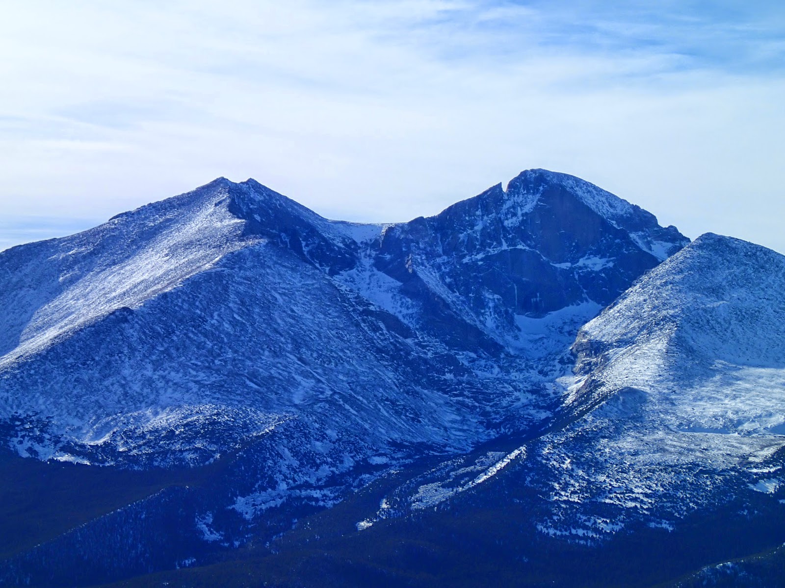
I carried on the trail, which was not really damaged beyond other than some evidence of water running down the trail. Eventually I made it to the uppermost boulder field and the last climb before the summit. The rocks were a little snow-covered but the scrambling to the top of the true summit was not too difficult. I sat up top for a bit and took in the great views of Longs and Meeker and the rest of Rocky Mountain National Park that I could see. It was great to be back and see peaks I had climbed and loved for so long.
Another goal for the day was to head south climb up Twin Sisters Mountain, which was another ranked summit that I had not been up. I decided that I would not head that way because the amount of snow cover on the rocks made travel difficult enough that it would take me some time to get to the next summit and back. I was also feeling the elevation a bit as I was a little dehydrated and hadn't been up that high in some time. Instead I decided to climb up the western summit for the more complete view of Longs and Meeker.
 |
| Classic view of Meeker and Longs |
When I made it over that way I was surprised to find a trail up to the top of that summit and was surprised that in the three other times up there that I had never climbed up to the top of this western summit. The views were great again and I spent some time up there taking it all in and snapping some photos.
When I was satisfied and ready to descend I slowly made my way back down the trail. I stopped again to examine the large landslide and to take more photos and then I carried on back to the car.
Elevation gain: 2480' Total gain: 3540'
No comments:
Post a Comment